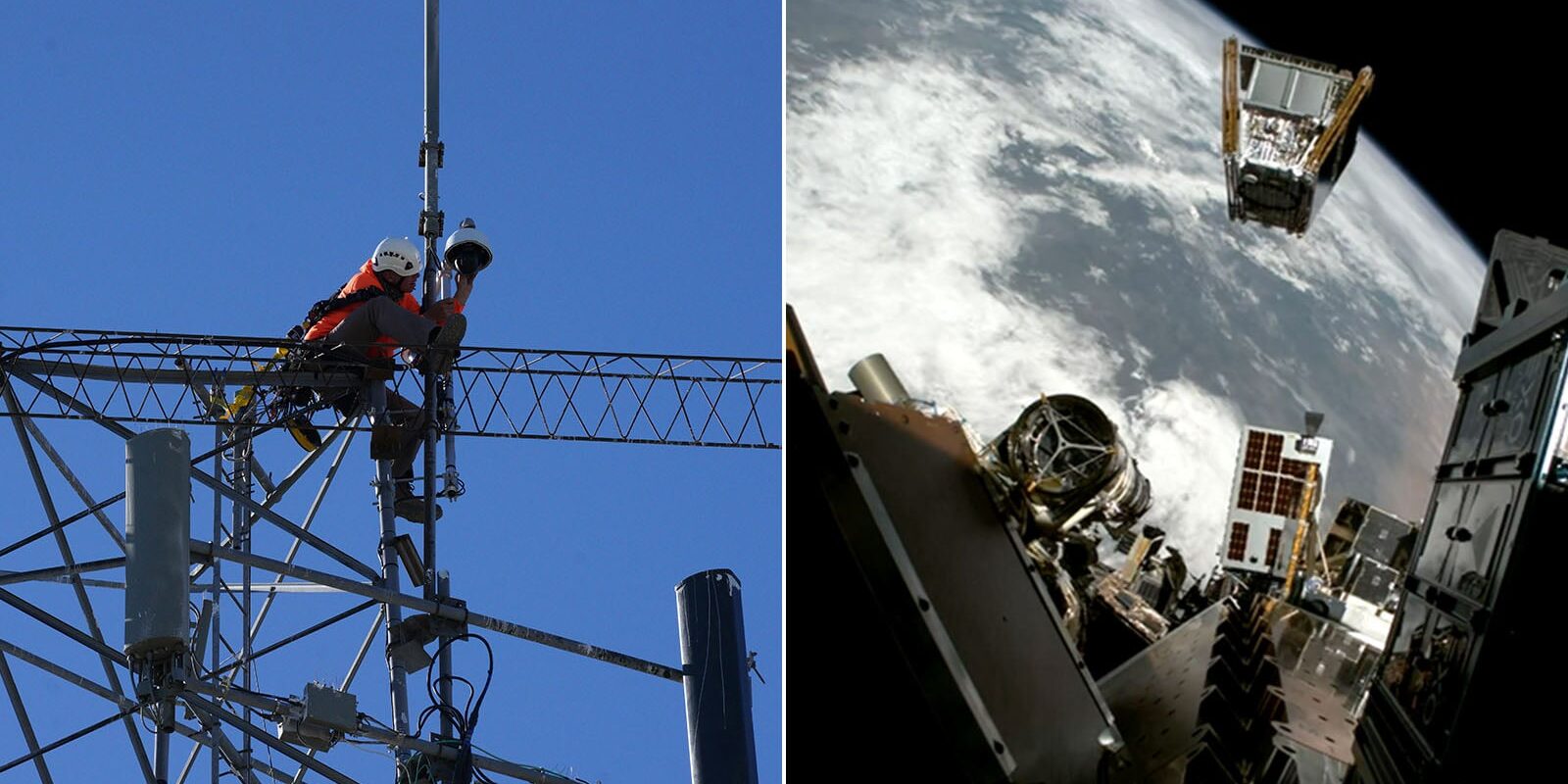
Recent advancements in camera technology, both terrestrial and satellite-based, have transformed how wildfires are detected and monitored, significantly enhancing response efforts in vulnerable regions. The integration of high-resolution imagery and real-time data analysis allows agencies to pinpoint smoking hotspots before they escalate, a critical innovation amid increasing wildfire incidents globally.
What happened
This summer, researchers and fire management agencies rolled out an interconnected network of cameras positioned across high-risk areas in the western United States, in synergy with satellite imagery from space. These systems employ artificial intelligence to analyze images for smoke detection and fire signatures, enabling rapid reporting to emergency services. Notably, a recent incident in California showcased this technology’s potential when a camera detected the start of a fire in a remote area, allowing firefighters to intercept the blaze before it expanded.
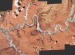
In addition to ground-based cameras, satellites equipped with advanced imaging technology are playing a pivotal role in broader surveillance. For instance, NASA’s Earth Observing System collects data that not only supports regional assessments but also provides crucial insights into smoke dispersion patterns and air quality impacts over larger geographical areas.
Why it matters
The increasing frequency and intensity of wildfires emphasize the urgent need for improved detection methods. In the past, delays in fire detection often exacerbated the situation, making it challenging for firefighting teams to respond effectively. The innovative use of cameras can reduce detection times from hours to mere minutes, allowing for quicker mobilization of resources and potentially saving lives and property.
Furthermore, the dual approach of using both terrestrial and satellite monitoring enhances safety not just for firefighters, but also for communities at risk. The immediate availability of data enables proactive measures, such as public alerts and evacuation orders, thereby minimizing the potential for catastrophic outcomes. The impact of these technologies extends beyond immediate fire response; they also contribute to long-term environmental monitoring and improve understanding of fire ecology.
What comes next
Looking ahead, the focus remains on expanding and refining these surveillance systems. Agencies are exploring the potential of deploying drone technology alongside existing camera networks, which could enhance on-the-ground situational awareness. Plans for greater collaboration between state agencies and private tech companies are also underway to develop more sophisticated, AI-driven analytics that can predict fire behavior based on historical data and current conditions.
As wildfire seasons become increasingly unpredictable, the intersection of technology and environmental stewardship will be crucial. Continued investment in camera networks, satellites, and data analysis capabilities promises to augment firefighting efforts and could revolutionize our approach to wildfire prevention and management. The next significant watchpoint will be the evaluation of these technologies through their performance in this wildfire season, shaping improvements for years to come.
Original Source: https://petapixel.com/2026/10/12/cameras-on-earth-and-in-space-are-the-frontline-of-wildfire-defense/